How can cities and towns make sure this information has a direct impact on passenger experience?
Well, analyzing geographic information in isolation isn’t enough. To have a significant impact on the way in which passengers like Maria, Joe and Alex experience public transit, it’s crucial for the geographic information to be a fully integrated part of the overall planning and scheduling process, on the same map where service changes or new routes are being created and directly accessible to all team members, managers and other stakeholders.
That isn’t always the case, though.
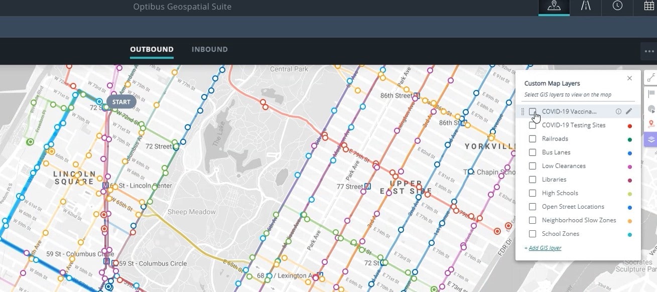
At one of the U.S. transit agencies that uses the Custom Map Layers in Optibus’ Geospatial Suite, the geographic information system (GIS) specialist used to have to send planners a PDF or screenshot of the GIS layers they wanted to see, and then they’d have to compare the static image to the routes they were working on.
Read about how the Geospatial Suite also improves transit equity
But that extra step is no longer necessary – which is especially helpful when teams are working remotely.
Instead, cities and towns can plan new routes or service changes with the full context right in front of them, including a range of destinations and means of transportation – just as passengers do when they plan their trips.
“With the Custom Map Layers, all the information is accessible to everyone, and that’s very beneficial for us when it comes to planning service changes or new routes. Everything’s at their fingertips, ready to go,” the GIS specialist said. “Our planner has the ability to see all the information he needs for planning purposes right there at any given time. That’s a big game-changer.”
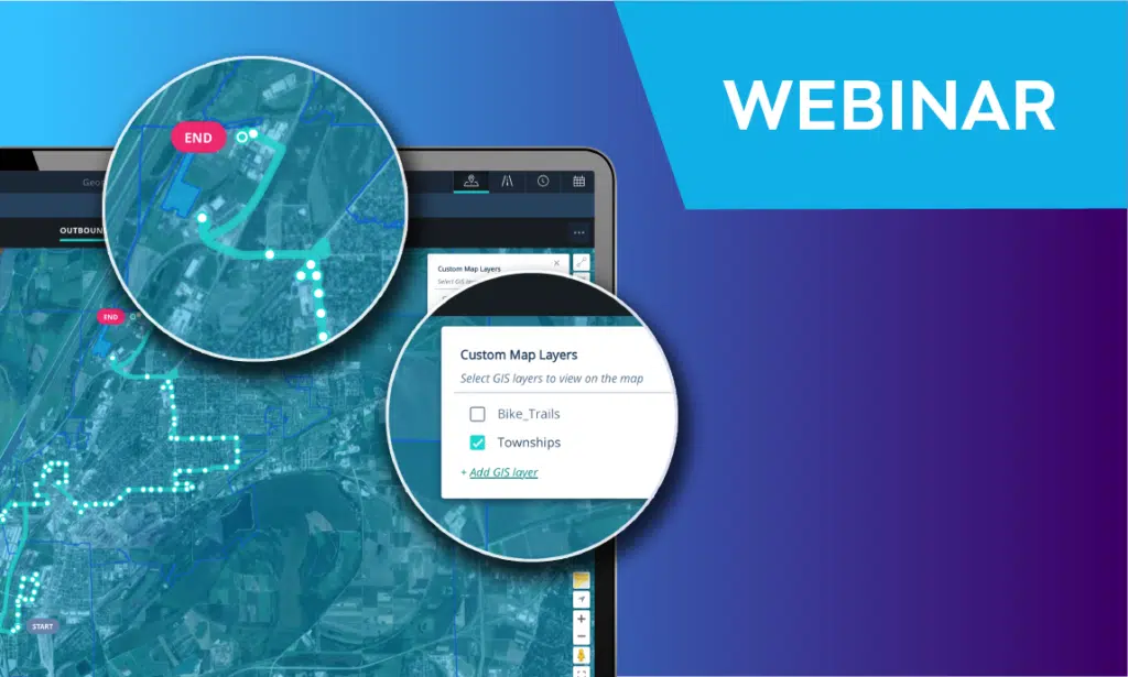
See how Custom Map Layers works (webinar replay)
And ultimately, when cities and towns are able to plan transportation routes with a fuller understanding of the local context, it’s not only the planning team that benefits – it’s the passengers themselves.
“When you start to visually put things together in one place, all of a sudden things start clicking, light bulbs start going off. If you’re planning on changing a route, with map layers you can see right away, ‘Oh there’s a school over here that we didn’t know about,’ or ‘There’s a shopping center,’ and then you can account for that in your planning and scheduling,” the GIS specialist said.
Request a demo to learn how to integrate Custom Map Layers with your planning and scheduling process
“Being able to make really informed decisions is only going to make riders’ experience better,” he added. “When we’re able to make map layers an integral part of our planning and scheduling process, that gives us more insight, and when it’s more insightful for us, that’s only going to make it better for our riders.”
Read more:
➤ Webinar (on-demand): Planning Your Transit Network
➤ Report: Winning Back Ridership in the Aftermath of COVID-19
➤ Case Study: How Abellio UK Uses Optibus as a Sustainable Digitalisation Tool